Water is changing.
Let’s see it clearly.
Patara brings robotics, environmental sensing, and software together for a clearer picture of water quality.
From canals to urban waterways, better decisions start with knowing what is happening in the water — and where it is changing.
Our Ridley project applies this approach to an uncrewed surface vessel (USV) designed for autonomous water-quality monitoring.
Explore Ridley About PataraWhy water
Why water needs
our attention.
Five findings on water quality, the scale of our waterways, and the need for better monitoring.
The 2023 Vang de Watermonsters citizen-science survey involved 772 trained volunteers. NIOO-KNAW reports that 80% of the sampled waters scored moderate or poor. This describes the surveyed sites, not a census of every Dutch waterway.
Read the original research (opens in a new tab)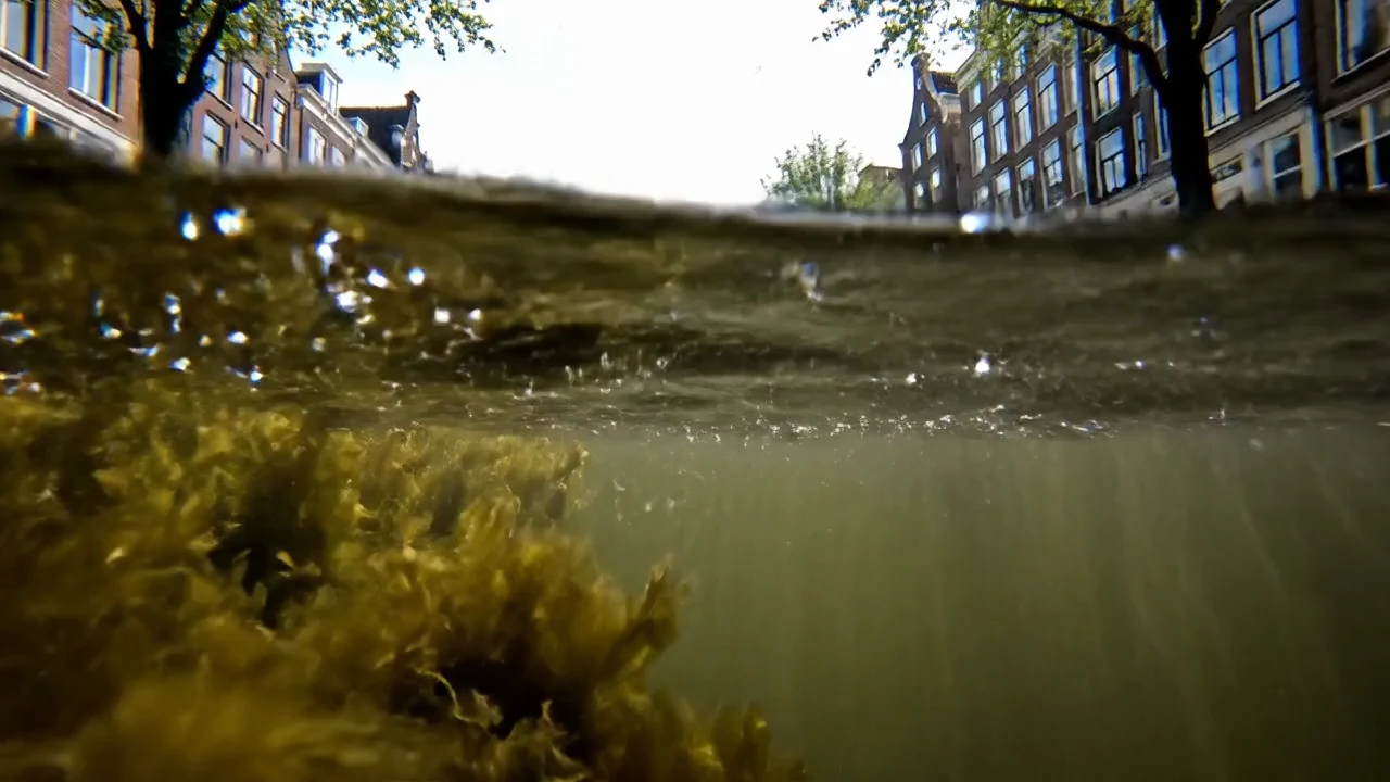
Ridley.
A small vessel.
A wider view.
Water monitoring.
In motion.
Ridley is a compact autonomous surface vessel designed to bring water-quality sensing beyond the shoreline.
Combining a small footprint with mobile sensing, Ridley is designed for repeatable surveys that connect measurements to locations and turn isolated readings into a wider view.
Explore the map Discover the Ridley USV project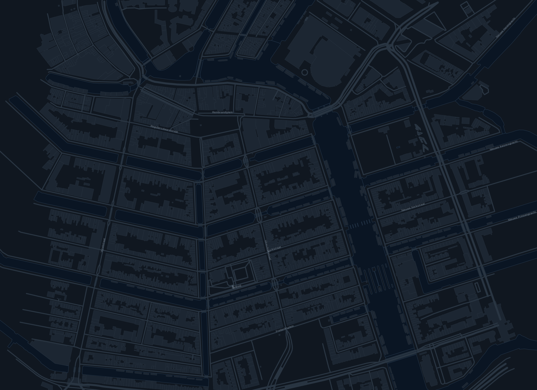
Lower oxygen
Every reading.
Connected to a place.
From a survey route
to a spatial picture.
Plan the coverage. Connect readings to their location. Compare conditions across the waterway.
- 01
Plan the route.
Define coverage through the waterway and return to the same locations.
- 02
Connect the readings.
Pair each measurement with a location to see conditions across the route.
- 03
See what changes.
Compare surveys over time and focus further investigation where it matters.
Better information.
Focused decisions.
Water management
Locate variations in water quality and prioritise further investigation.
Environmental research
Build spatial datasets and compare observations across repeated surveys.
Urban waterways
Understand local conditions in canals, ponds, and connected water networks.